
Find Garland Neighbors by Block
A block search has several distinct sources. MyGarland establishes spatial context for the address and nearby parcels. DCAD follows an individual parcel to its current appraisal account, owner field, mailing field, and legal description. The Dallas County deed index can connect adjacent parcels through a subdivision, lot, block, or recorded instrument. Texas voter tools may help with limited election geography, subject to public-field and address-suppression limits. Library directories and maps are historical sources, not current household proof.
| Source | What It Shows About a Block | Access |
|---|---|---|
| MyGarland parcels and streets | Address placement, parcel context, nearby streets, and city layers | Free map and ArcGIS service |
| DCAD account | Owner-of-record, mailing field, situs, and legal description for a parcel | Free address, owner, account, or map search |
| Dallas County official records | Recorded parties, instruments, dates, subdivision, lot, and block clues | Public index, counter, phone, or document request |
| Texas election route | Limited registration and precinct context where lawfully visible | Official lookup or county/state request route |
| Library historical sources | Older directory, newspaper, census, or map lead for the area | Microfilm, databases, and collection access |
Ownership is not occupancy. A recorded owner may use another mailing address, and a historical directory may name a householder from a different period. Garland neighbors should therefore be described by the evidence label, not by an assumption about who is presently at an address.
Map Garland Neighbors Parcel by Parcel
The immediate-block method is intentionally narrow. Start with the target address, use MyGarland to see the parcel shape and street context, then move north, south, east, and west to the parcels that actually touch or sit nearby. Follow each address to DCAD rather than assuming the map itself holds title data. The final comparison is the county recorder, where shared subdivision language, lot and block descriptions, or recorded parties can be checked.
- Enter the target in MyGarland and confirm the street and parcel context.
- Inspect the parcels north, south, east, and west, recording the address or map reference for each.
- Use DCAD to capture each account, situs, owner field, mailing field, and legal description.
- Search the Dallas County official-records index for common subdivision, lot, block, or deed references.
- Keep the result as adjacent-parcel evidence. For a full named-street record chain, use the Garland street directory.
A precise parcel path is better than a broad radius. It keeps an address search tied to visible record roles and avoids treating every nearby name as part of one household or social circle.
Read Garland Neighbor Map Layers
MyGarland is a strong geography tool because its ArcGIS REST service exposes Address, Parcels, Streets, City Limits, Street PCI, facilities, neighborhood associations, neighborhood watches, schools, parks, zoning, and district layers. The service allows Identify, Find, Query, and Export Map operations, and its metadata reports a maximum record count of 1,000. These are map and service layers. They are not a deed index, an ownership database, or a membership roster.
Inspect the MyGarland ArcGIS REST layer list before treating a neighborhood boundary as a people list.
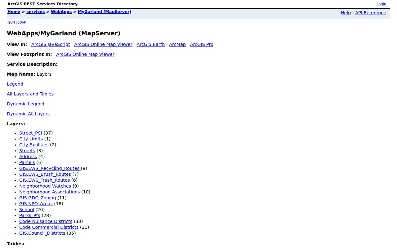
The city’s service makes its layer names and operations visible, but its map disclaimer says the data is approximate and not a legal survey or substitute for a property boundary.
Layer context can still be valuable. It can show whether a parcel lies near a mapped neighborhood association, watch boundary, park, school, or city-limit edge. It cannot support an inference that people belong to an association or watch, and no stable public member-name table was located in the inspected service.
Place Garland Neighbor Context
Garland’s map service includes Neighborhood Associations and Neighborhood Watches alongside parcel and street layers. Those labels supply community geography only. A boundary can be recorded as a useful note when studying a block, but it does not name every person within it or prove that an address is part of a member list. This limit is especially important where a block crosses a city, ZIP, county, or service edge.
| Community layer | What the City Map Provides | What It Does Not Establish |
|---|---|---|
| Neighborhood Associations | Named association layer and geographic context | Member households or personal contacts |
| Neighborhood Watches | Mapped watch-related context | Participation by a specific person |
| City Limits and districts | Municipal and district geography | County custodian, election registration, or residence |
| Parcels and streets | Mapped adjacency and address placement | Title boundary or current presence |
Use the layer name, map date, and source URL in a note. If an official organization later publishes its own contact information, cite it as organization information rather than as a household directory.
Check Garland Neighbor Parcels
DCAD is the ownership follow-up after a parcel is identified on MyGarland. The address search has separate fields for number, direction, street name, building, suite, city, number range, and account type. DCAD tells users to omit the street type in the street-name field, use digits for an address number, and enter at least two street-name characters. The city field and range controls can help where a block has similar or repeated street names.
For each nearby parcel, preserve the account number, situs, legal description, owner name, mailing address, and appraisal-year context. The city directs a Garland owner to the appraisal district in the county where the property sits. Some Garland addresses therefore require Collin CAD rather than DCAD. A mailing address may belong to an owner, representative, trust, or other party and must not be treated as the parcel’s current household.
Note: Save the legal description with the account because it remains useful when street labels and city names do not match across records.
Garland Neighbor Records at City Hall
Some block questions concern city-held administrative records rather than parcel title. The Garland City Secretary maintains council records, ordinances, contracts, minutes, and election-related records, and the city’s public-information route asks for an existing record, date range, department, and requested fields. It does not create a list of people at nearby addresses.
Use the Garland Public Information Request route for a specific city administrative record, while police and court material follow their separate request channels.
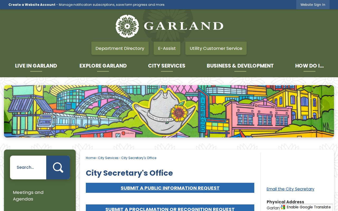
A focused request gives the city a record type and time frame to locate; it does not convert city files into an occupancy or association-member directory.
Keep Garland Neighbor Election Context
A precinct or district can explain which election geography touches a block. It does not reveal a ballot choice, and it does not create an address roster. The Texas public lookup uses name, county, date of birth, and ZIP. A certificate model includes fields such as VUID, birth year, precinct, residence and mailing information, but that model does not guarantee that every field is visible online. Dallas and Collin county service must be confirmed from the address.
The Texas voter-registration route is subject to statutory public fields and address confidentiality. All voters can request residential-address suppression from website display, and the Address Confidentiality Program can use a substitute address for qualifying people. A missing display is not a reason to look for protected information elsewhere.
Compare Garland Neighbor Evidence
Official records and commercial neighbor tools do not make the same claim or provide the same path to correction. A careful block search favors the source that identifies the custodian, field role, date, and access limit. That lets a reader distinguish parcel adjacency from a recorded title party, and both from a historical directory listing.
| Category | Strength | Limit to Keep Visible |
|---|---|---|
| Official parcel and recorder records | Named custodian, address or legal-description fields, and documented access route | Owner or party field is not current occupancy |
| City GIS context | Shows spatial relationship and mapped service layers | Approximate reference data, not survey or title proof |
| Historical directories and maps | Can date a household or building context | Historical listing is not a present-day finding |
| Commercial neighbor tools | May collect material from different sources | Accuracy, source date, and correction path may be unclear |
A record result should always say what it is: adjacent parcel, owner of record, recorded party, historical householder, or mapped geography. That evidence label is more useful than a broad conclusion about Garland neighbors.
Monitor Garland Neighbor Property Records
Dallas County offers a free property-alert route for a personal or entity name used in a real-property filing. A user can create an alert from a found document or use a custom keyword. The service is a monitoring aid for filing activity, including lien and release examples supplied by the county. It does not identify occupants, certify title, or show a social relationship among properties on a block.
Open the Dallas County Property Alerts page to review its filing-monitoring terms and third-party hosting notice.
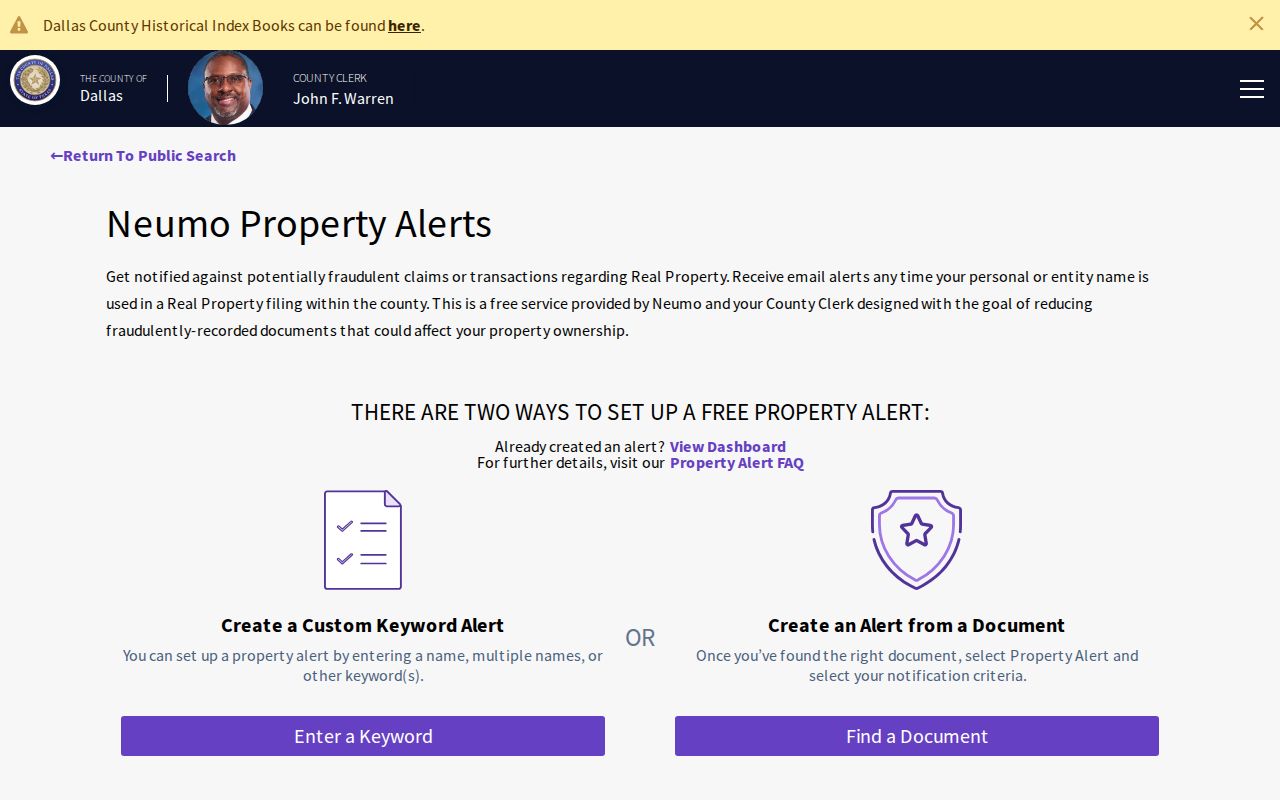
The alert screen is best used to watch for a name in a real-property filing, then verify any alert against the actual recorded instrument and parcel legal description.
For a historical block, Central Library’s Garland newspaper microfilm from 1900 through 2000, directories, Sanborn maps, census records, and deeds can be paired by year. Each source needs its own date and label. A Sanborn sheet can show building use, lot context, and street alignment, but not every historical occupant.
Respect Garland Neighbor Privacy
Parcel adjacency does not mean a social relationship or current occupancy. A recorded owner may be absent, a directory householder may have moved, and a voter record can be stale or protected. Texas public-record rules also limit the display of sensitive identifiers and certain residence information. Courts, property records, and voter systems have separate confidentiality rules, so a record that is missing or redacted must remain that way.
An address may also have a county or city mismatch. Verify the parcel county, municipality, and exact mailing ZIP before attaching any record to a Garland block. Dates and source roles protect both the research and the people described by it.