
Follow a Garland Street Directory Trail
Address work in Garland begins by normalizing the number, directional prefix or suffix, street name, street type, ZIP, and likely county. Save both what was entered and the result returned. The physical address should then be checked in the Dallas Central Appraisal District, known as DCAD, for an account, owner of record, legal description, and situs. MyGarland adds map context. The Dallas County clerk’s index supplies the recorded-document trail. A voter route may add limited election geography, while directories, census material, and library sources place an address in historical context. These sources use different update cycles, so agreement matters more than a single hit.
- Enter the normalized address in DCAD’s address search, then save the account, situs, owner field, mailing field, and legal description.
- Place the same address in MyGarland to see parcel, street, city-limit, service, and neighborhood context.
- Use the account and legal description in the Dallas County Official Records Search for recorded parties and documents.
- Use the correct county election route only for limited registration or precinct context, subject to Texas suppression rules.
- For an older address, compare directory, newspaper, census, Sanborn, and deed evidence and label the date and record role for each name.
Garland is principally a Dallas County records question, but a Garland mailing label can fall in Collin County. The City of Garland directs ownership and mailing changes to the appraisal district for the county where the parcel lies. That makes the address, parcel, and county better starting points than the city name alone.
Search Garland Street Directory Fields
DCAD is the appraisal-district route for most Dallas County Garland property. Its address screen separates the pieces of an address instead of requiring one full-line guess. Enter less information if the first search fails. DCAD instructs users to omit the street type from the street-name field, but the complete situs should remain in notes and citations. The blue property-address result links to the parcel account.
| DCAD field | How it is used | Format or choice |
|---|---|---|
| Address Number | Narrows to one property or range | Digits only |
| Direction | Separates directional address parts | Dropdown |
| Street Name | Core street search | At least two characters, no spaces |
| Building | Separates a multi-building property | Optional text |
| Suite | Adds a unit qualifier when indexed | Optional text |
| City | Narrows the address result | Dropdown |
| From / To | Finds a numbered range | Optional number pair |
| Account Type | Limits the appraisal account kind | Residential, Commercial, or BPP |
DCAD identifies the account number as the best identifier. A correct owner or address is usually enough to begin, but a legal description helps keep the trail intact when a street spelling, unit, or city label differs between sources. A written DCAD open-records request can identify the account or physical address, requested fields, and year when the online display is not enough.
Map Garland Street Records in MyGarland
MyGarland accepts a valid Garland address and supplies reference-map context. Its layers include parcels, streets, city limits, facilities, neighborhoods, neighborhood watches, neighborhood associations, schools, parks, zoning, districts, projects, and service data. The companion MyGarland ArcGIS service exposes layer metadata plus Identify, Find, Query, and Export Map operations. It is useful for checking what the city maps, not a replacement for an appraisal roll or deed.
Review the City of Garland MyGarland map before relying on a street-by-street sequence.
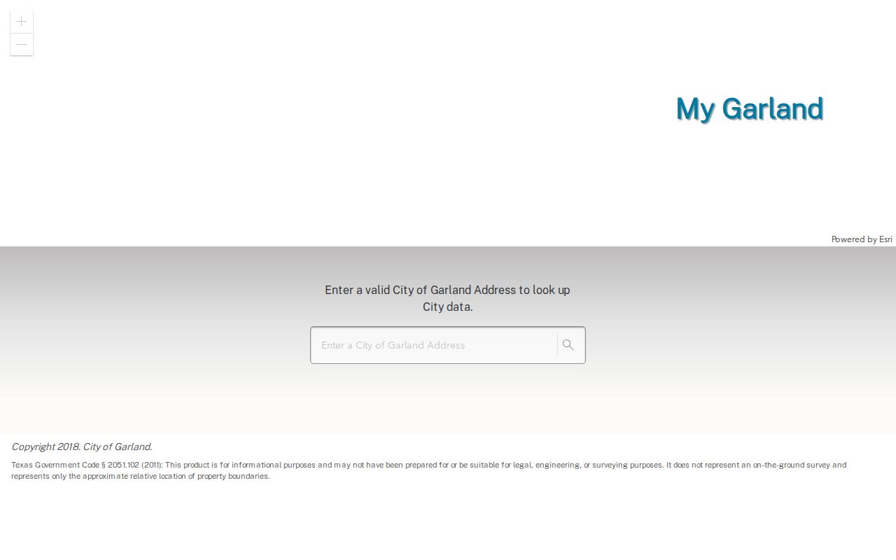
The map shows where a parcel sits beside streets and city services, but Garland says the data is approximate and not a legal survey or proof of a property boundary.
For a street directory search, use geometry to identify parcels that touch or face the street. Then return to DCAD for account and owner-of-record fields and to the recorder for legal history. The service reports spatial reference 102738 in feet and a maximum record count of 1,000, further reason to treat map output as context rather than a complete person or title list.
Read Garland Street Record Roles
Four common fields are easy to blur together. The appraisal owner is the owner of record, while the mailing address is where appraisal or tax correspondence goes. The situs is the physical property address. An occupant is a person actually present at an address, which the DCAD card does not establish. A trust, estate, lender, representative, or owner who lives elsewhere can appear on a parcel record without describing present occupancy.
- Parcel
- A mapped property unit tied to an appraisal account and legal description.
- Situs address
- The physical location assigned to the property, distinct from a correspondence address.
- Plat
- A recorded map that can identify a subdivision, lot, block, and related legal description.
- Criss-cross directory
- A reverse directory arranged by address, useful for historical household leads rather than current proof.
Keep these roles in the research log. A listed owner can be a recorded party, and a directory can show a past householder. Neither label should be silently promoted to an occupant claim.
Trace Garland Street Deed History
The appraisal roll and recorder answer different questions. DCAD is an administrative appraisal record that may update on a different cycle. The county recorder indexes recorded instruments. Its advanced search has party name, grantor, grantee, recorded date, instrument date, document type, document number, book, volume, page, lot, block, city block, town, legal description, and full document text. The displayed autocomplete name format is LASTNAME FIRSTNAME, and dates use MM/DD/YYYY.
Begin with the current owner as grantee, capture the document number, recorded date, instrument date, parties, and legal description, then search the prior owner as grantor. An instrument date marks signing or effectiveness; a recorded date marks clerk acceptance. The legal description, subdivision, and lot or block join the sequence when names repeat or a street address does not appear in an index.
Open the Dallas County recorder quick search to choose a department, date range, and index-only or index-plus-OCR option.
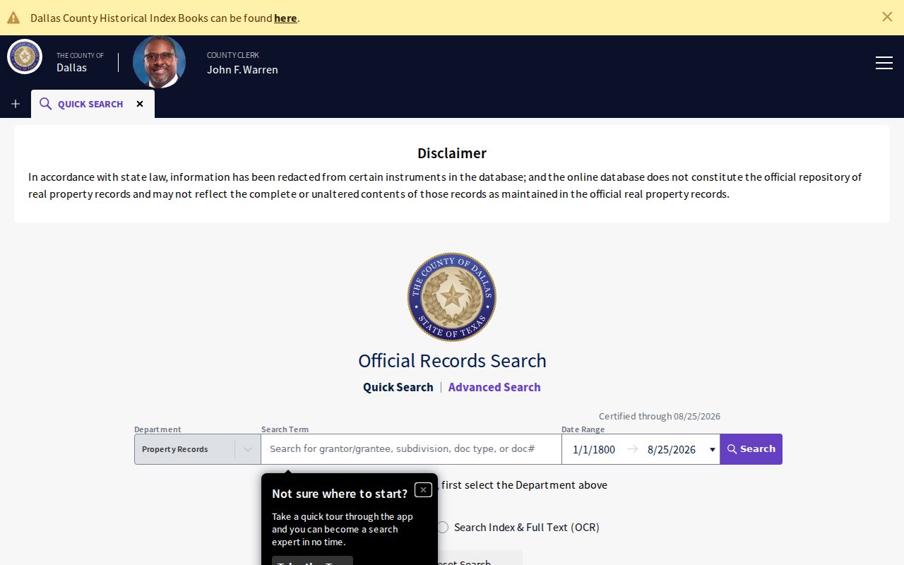
The quick-search screen is a starting point for an indexed instrument, not proof that every older county book is online. The county reports records reaching to 1846, while the portal did not state one complete historical online cutoff.
When a result is not downloadable or a certified copy is needed, the County Clerk’s Request for Documents form accepts recorded name, grantor or grantee, instrument number, document type, and property address. It offers plain copies at $1 per page per document and certified copies at $1 per page plus $5 certification per document. The Recording Division also has a counter, phone, and mail route.
Compare Garland Street Directory Sources
Address-keyed sources should be read as a chain, not merged into a single household list. This comparison separates the custodian, the field role, and the alternative route available when a portal does not answer the question.
| Address source | Keeper | What it can show | Access path |
|---|---|---|---|
| Appraisal account | DCAD or Collin CAD | Account, situs, owner, mailing field, legal description | Online search, phone, counter, or written request |
| Parcel and street map | City of Garland | Spatial context, layers, and nearby parcels | MyGarland map and REST service |
| Recorded instrument | Dallas County Clerk | Recorded parties, dates, documents, legal description | Online index, counter, phone, mail request, or historical holdings |
| Registration geography | Texas SOS and county registrar | Limited registration and precinct context where lawfully visible | Official lookup or formal county/state request route |
| Historic address evidence | Garland Library and archives | Past household, newspaper, map, or directory lead | Microfilm, library databases, on-site collections, and archives |
Note: Dates from each source must stay attached to the record role, because ownership, mapping, recording, and directory publication do not update together.
Use Garland Street Directory Index Fields
The Dallas County advanced records form is useful when a street address does not appear in a quick result. It can search grantor, grantee, party, notary, instrument date, recorded date, document type, book, volume, page, lot, block, city block, town, legal description, and OCR full text. A subdivision, lot and block, or legal description often provides the bridge from a DCAD account to a recorded instrument.
Open the Dallas County Advanced Records Search to select its structured fields rather than relying on one free-text address attempt.
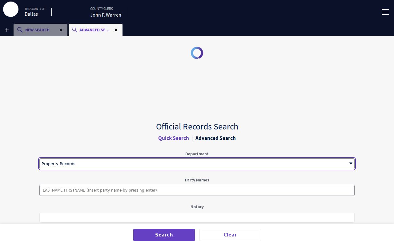
The advanced screen supports a documented legal-description or party search, but its public index does not establish that every older Garland record is online.
Use Garland Street Voter Geography Carefully
Texas maintains a statewide voter list through the Secretary of State and county registrars. The public lookup uses name, county, date of birth, and ZIP, and may display a VUID and voting information. The City of Garland contracts with both Dallas and Collin counties for election services, so a Garland label alone does not establish the registrar. A precinct or district can help describe election geography around a street, but it is not a roster of current occupants.
Texas law makes some voter-list fields public while keeping ballot choices confidential. Public web display is narrower than a formal list request, and residence addresses can be suppressed. Use the Texas voter-registration route for its stated purpose and the correct county, then record only the lawful, relevant result and date.
Note: A missing address on the web may reflect suppression or a county mismatch, not the absence of a registration.
Date a Garland Street with Permits
Permit evidence can add a dated physical-change point to an address trail, but it is not an open occupant directory. Garland’s Voice Permits brochure describes a 24/7 touch-tone service at 972-205-2300 that needs a site-specific permit number and inspection code. Its options cover scheduling, cancellation, results, plan-check status, information, staff directory, and transfer to staff. Keep a permit date or type only after the city confirms the underlying record.
When the permit number is not known, use a focused Garland public-information request for existing records. Identify the department, date range, address, and requested fields. This route can clarify what municipal record exists without asking the city to create a new list of people associated with a street.
Check Garland Street County Edges
A Garland postal label, city boundary, ZIP, election service area, and appraisal district can point in different directions. The official city ZIP map places five primary areas across Garland, while the city-limits map shows an irregular edge beside Rowlett, Sachse, and Dallas. USPS treats ZIP codes as delivery routing, not legal municipality or county proof. Establish the correct county and parcel before a property or election search is treated as complete.
Use the USPS ZIP Code Lookup for an exact delivery-address check, then compare it with DCAD, MyGarland, and city-limits context. USPS warns that a returned ZIP does not confirm a person or company at an address. For the immediate-block parcel workflow, see the Garland neighbors page.
Find Past Garland Street Households
Current parcel evidence and historical household evidence must remain separate. Central Library has Garland newspaper microfilm from 1900 through 2000, Dallas Morning News microfilm from 1972 forward, genealogy material, HeritageQuest access, and interlibrary loan. TSLAC, UNT, UT Austin telephone directories, census material, Sanborn maps, and deeds fill different date gaps. A reverse or criss-cross directory is useful where a street address is known first, although availability should be checked volume by volume.
For a nineteenth-century or rail-era address, search Duck Creek, Embree, and New Duck Creek as alternate place names. Garland’s rail-era changes and the 1887 and 1899 fires can make a modern city-name search miss an earlier entry. A map can support street alignment or lot context, but it does not establish the name of every household.
Set Garland Street Directory Limits
A Garland street directory can show that a person was recorded in a particular role at a particular time. It cannot safely establish current presence from a parcel owner, a mailing field, an old directory entry, a court party, or a voter result. Texas rules also protect sensitive identifiers and certain addresses. Address Confidentiality Program participants and voters who request residential-address suppression require special care, and a missing public display must never be reverse-engineered from other clues.
Label findings as owner of record, recorded party, directory householder, permit record, or registration field. That discipline preserves the useful distinction between an address record and a claim about a person’s life.